
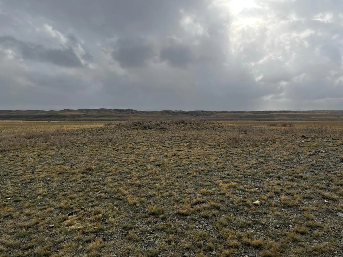
The monument is located 120 m south of the Tömengi Akbaz wintering site, which belongs to the Ekpin rural district, in the northern part of the Katon valley. The Naryn River flows to the east of the burial ground in a north-south direction, and the burial ground is situated on the western bank of this river. The burial ground consists of several structures. The first structure in the north is a kurgan that is approximately circular. Its flat mound is made up of medium-sized mountain stones. The kurgan is well compacted, and signs of looting are not clearly visible. The structure is located right at the edge of the second floodplain terrace of the Naryn River, and there is a risk of it collapsing over time. The diameter of the kurgan is 40 m, and its height is approximately 1.20 m. A crepidoma made of vertically placed slab-like stones is recorded along the outer edge of the mound. The preservation level of the crepidoma is poor. Such slab stones are also found in the mound itself, and they may be elements that have shifted from the crepidoma, although visually it appears that they were intentionally laid that way. Another structure was recorded 58 m south of the first kurgan, 30 m west from the edge of the second floodplain terrace of the Naryn River. It is in the form of a stone mound. Elements of the crepidoma similar to the first structure are observed at the edges. There is a deformed structure in the central part of the monument, which may also be shifted elements of the crepidoma. In its current state, the structure resembles a quadrilateral enclosure. Its diameter is 18 m, and its height is 0.5 m. It is moderately compacted. Given the indicated damages, the structure has been subjected to looting. Located 25 m west of the second structure is another stone mound made of medium and large stones (with medium stones being predominant). In the central part, there is a structure resembling a stone box filled with small stones. A crepidoma made of large rounded stones is clearly visible along the perimeter of the mound. The diameter of the structure is 10 m, and its height is 1.20 m. It is moderately compacted, and no signs of looting were found. This structure is located to the west of the road leading to the Tömengi Akbaz wintering site, while the other structures are situated to the east of this road. The burial ground dates back to the late Bronze Age.
Historical data
In 2011, the monument was studied by the LLP "Archaeology".