
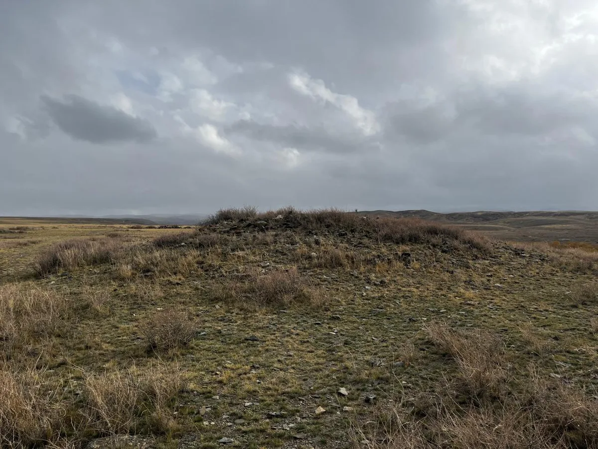
The monument is located on the Katon Ustyurt (locally known as Katon Ustyrt, Kobykai Plain), within the territory of Ekpin rural district, 3 kilometers from the Katon-Zhoghary Akbaz highway, on the eastern side of the road. The burial ground consists of 9 structures. It includes two stone mounds and one enclosure that is approximately rectangular with circular enclosures made of white quartzite. 150 meters to the northeast of these structures, there are 6 more monuments in the form of stone mounds with similar parameters. The diameters of the structures are 8-10 meters, and the mounds are flattened. The burial ground is dated to the Early Turkic period.
Historical data
In 2011, the monument was studied by the LLP "Archaeology".